Glaciers

Navigating the challenges of climate change in the Himalaya
Illustration: Nawang Tankhe

Navigating the challenges of climate change in the Himalaya

The heart of the mighty Himalaya is witnessing a profound transformation shaped by the relentless force of climate change. With Himalaya playing a crucial role in shaping the weather patterns across India, climate change is disrupting these patterns. And the Western Himalaya Region comprising of Jammu & Kashmir, Ladakh, Himachal Pradesh and Uttarakhand characterised by complex geography with various local warm and cold zones is affected differently from one location to another.

Climate change refers to long-term shifts in weather patterns that affect local, regional, and global climates on earth. Most of us are familiar with greenhouses that are commonly used to grow vegetables in winter, because the temperature inside these enclosures stays warmer than outside. A greenhouse keeps the enclosure warm by letting in as much light as possible and then trapping it as thermal energy. Now imagine what might happen if our planet acted similarly? In fact, it is because the earth works like a large greenhouse, that our planet can support such a wide variety of life. This phenomenon is called the greenhouse effect. However, a rapid rise in burning of fossil fuels over the last 150 years has significantly increased the level of carbon dioxide in our atmosphere leading to increased warming and a rise in unforeseen weather events.

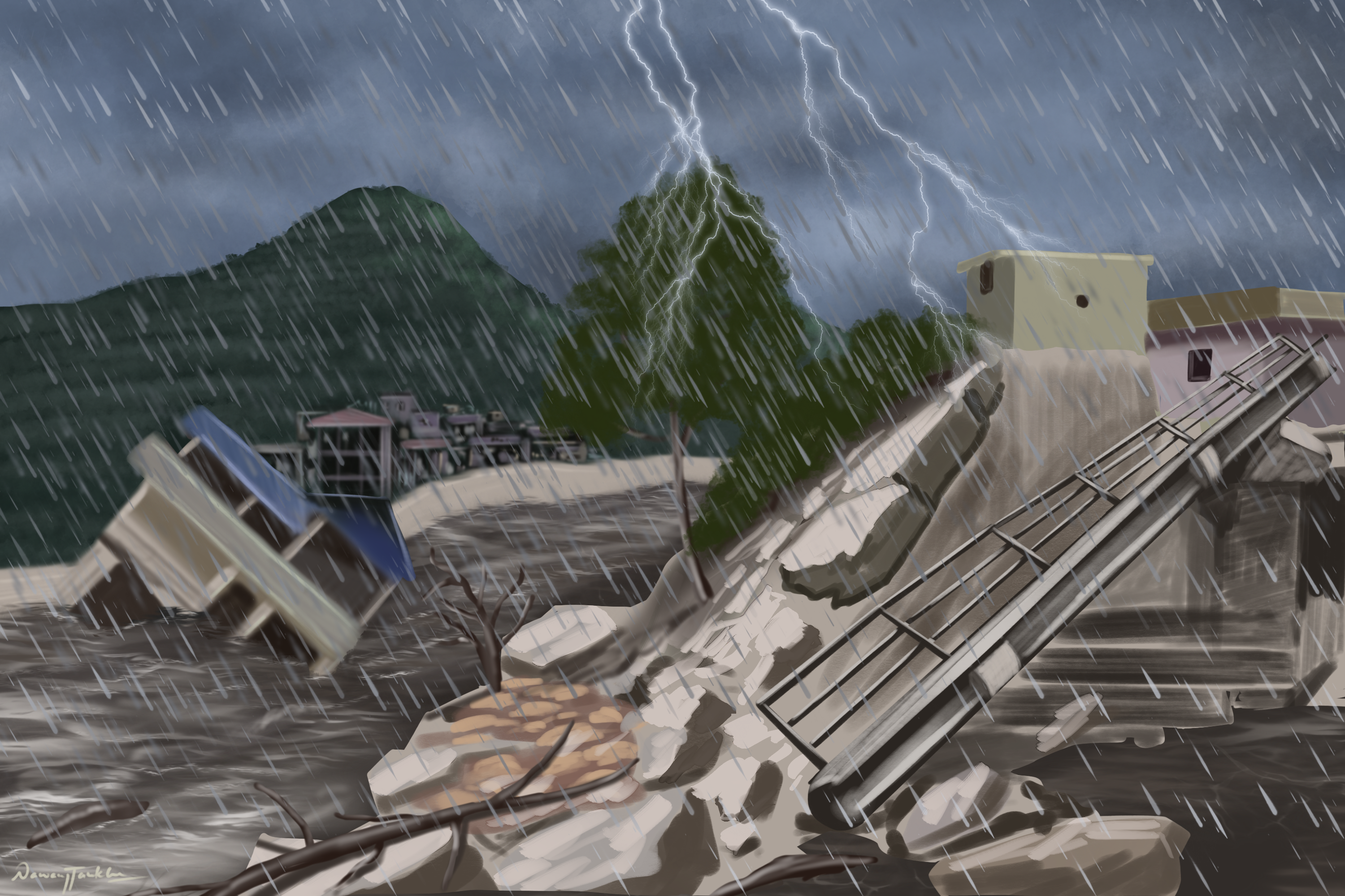
Research findings paint a stark picture of the Himalaya’s changing climate. Over the years the region has witnessed a noticeable rise in both seasonal maximum and minimum temperatures. The difference between daytime and night-time temperatures is also getting larger, indicating a warming trend. Snowfall events have shown variability in terms of intensity and timing. Scientists note a decrease in early snowfall during December and January, accompanied by an extension into February and March. While rainfall intensity remains relatively unchanged, there is a notable shift in its timings. Monsoon rains, once confined up to mid-August, now linger beyond their traditional timeframe, accompanied by a rise in cloudburst events. This shift, intertwined with delayed snowfall, alters the distribution of rainfall and cloud cover across the region.

The impact of this climatic transformation is not an abstract concept but a harsh reality affecting various sectors. Agriculture, the lifeline of many in the region, is particularly vulnerable. In the Kullu valley of Himachal Pradesh, delayed snowfall has cast its icy shadow on apple orchards. The blossoming, bearing, and overall yield of apples have suffered due to altered chilling conditions. Orchards, once thriving in lower elevations, now seek refuge in higher altitudes, affecting not just the geographical landscape but the very quality of the produce.

In Ladakh’s western regions, horticulture crops like apricots and walnuts are facing severe challenges. Spring seasons are turning cooler, delaying the fruiting process and impacting the quality of the produce. Barley, a locally grown crop, is witnessing a substantial reduction in yield, echoing the broader struggle against a changing climate.

Villagers in Spiti tell a poignant tale of declining green pea production, a crucial revenue-generating crop. This decline, attributed to persistent water scarcity, reached its peak in 2022 when Langza village faced complete crop loss due to the unavailability of water. The transformation is not confined to the fields; it seeps into the very identity of these regions.

Agriculture in Uttarakhand, highly vulnerable to climate change, experiences shift in production dynamics, causing changes in crop yield, reduced diversity, and a surge in pest invasions. In districts like Pithoragarh, Chamoli, and Uttarkashi, climate change is altering the traditional collection period of non-timber forest products, impacting livelihoods.
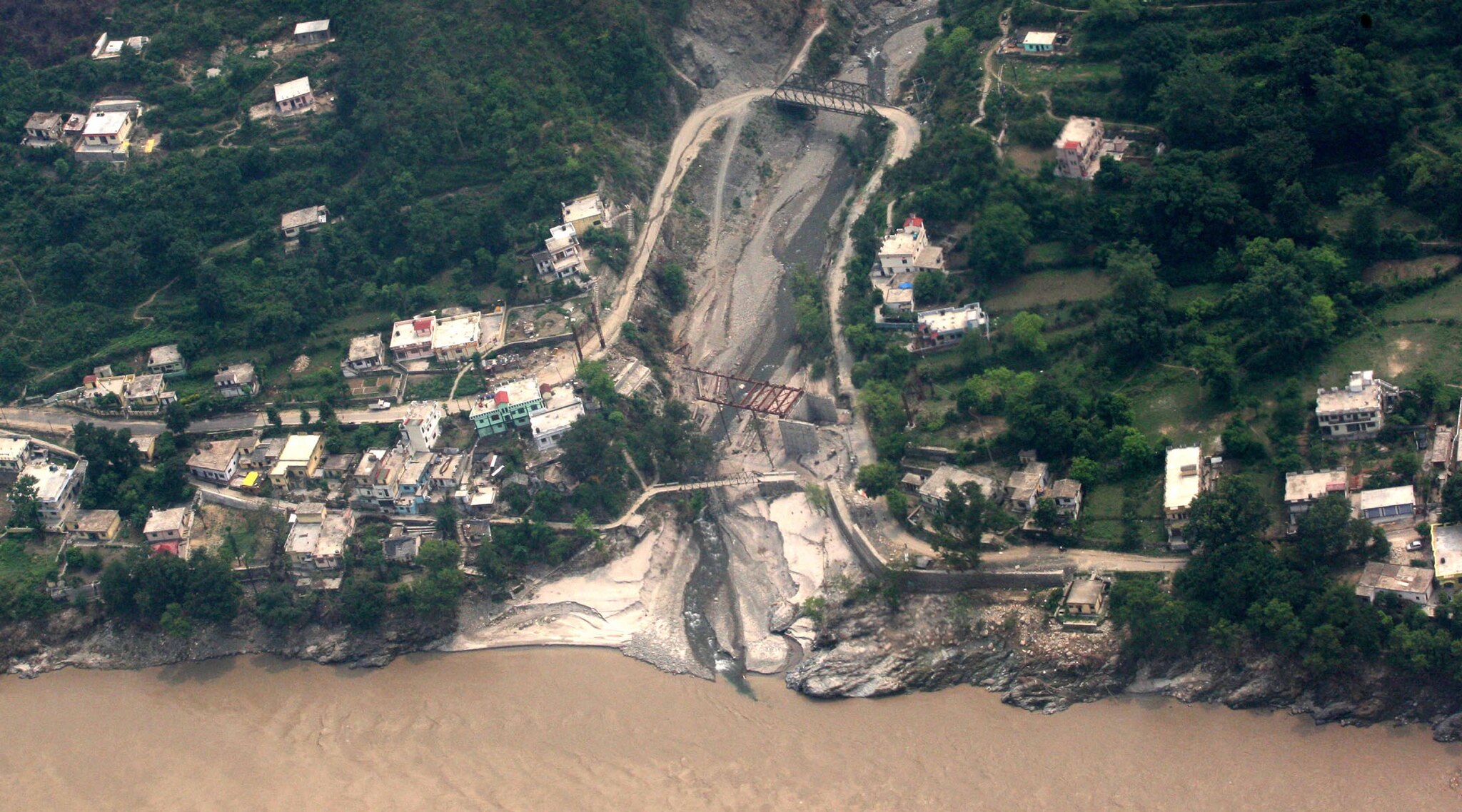
An aerial view of flood-ravaged Rudraprayag, in Uttarakhand | Photo: Wikimedia Commons

The farmers, the custodians of the land, echo this change.

Earlier, we could not see stars in the sky for the whole of July and August. Continuous rains for days during the monsoon season in old times was good for the soil and the crops. But now, sudden and untimely torrential rains are spoiling the soil as well as the crops. The rains have completely disappointed us.

by a farmer from Uttarakhand

Summers are more intense and drier now because of which the crops ripen at an early stage without proper grain development.

by an elderly farmer from Uttarakhand

Earlier the snow was about a foot high and it used to stay for weeks but now if ever there is snowfall it is less than 5 inches and melts within a day.

by a farmer from Himachal Pradesh

Every year, we travelled from Zanskar to Kishtwar by crossing the glacier. Over the years, this glacier has been reducing. The new snowfall is not sufficient for settling, posing challenges to our traditional migration routes.

by a pastoralist from Ladakh

This replacement about 50-60 years ago, which turned agri-culture on its head did not come with the Green Revolution (more appropriately called Greed Revolution) then but was the consequence of what had emerged as the industrial revolution two-three hundred years ago. And it started with de-legitimising traditional society’s existence, identity and knowledge by naming it ‘backward’ and following it up by seeking to shame people’s knowledge systems and their seeds. It was crucial and strategic that this society begin to have an inferiority complex about oneself. This was the first essential stage of the conspiracy. Once this was achieved, it was followed by a systematic replacement of the principles, methods, seeds with the means that it had created. As a result, a creative, productive and self-reliant society has today become a dependent slave farmer society.
3000 2000 Ajay Bijoor
Unpredictable Lifelines
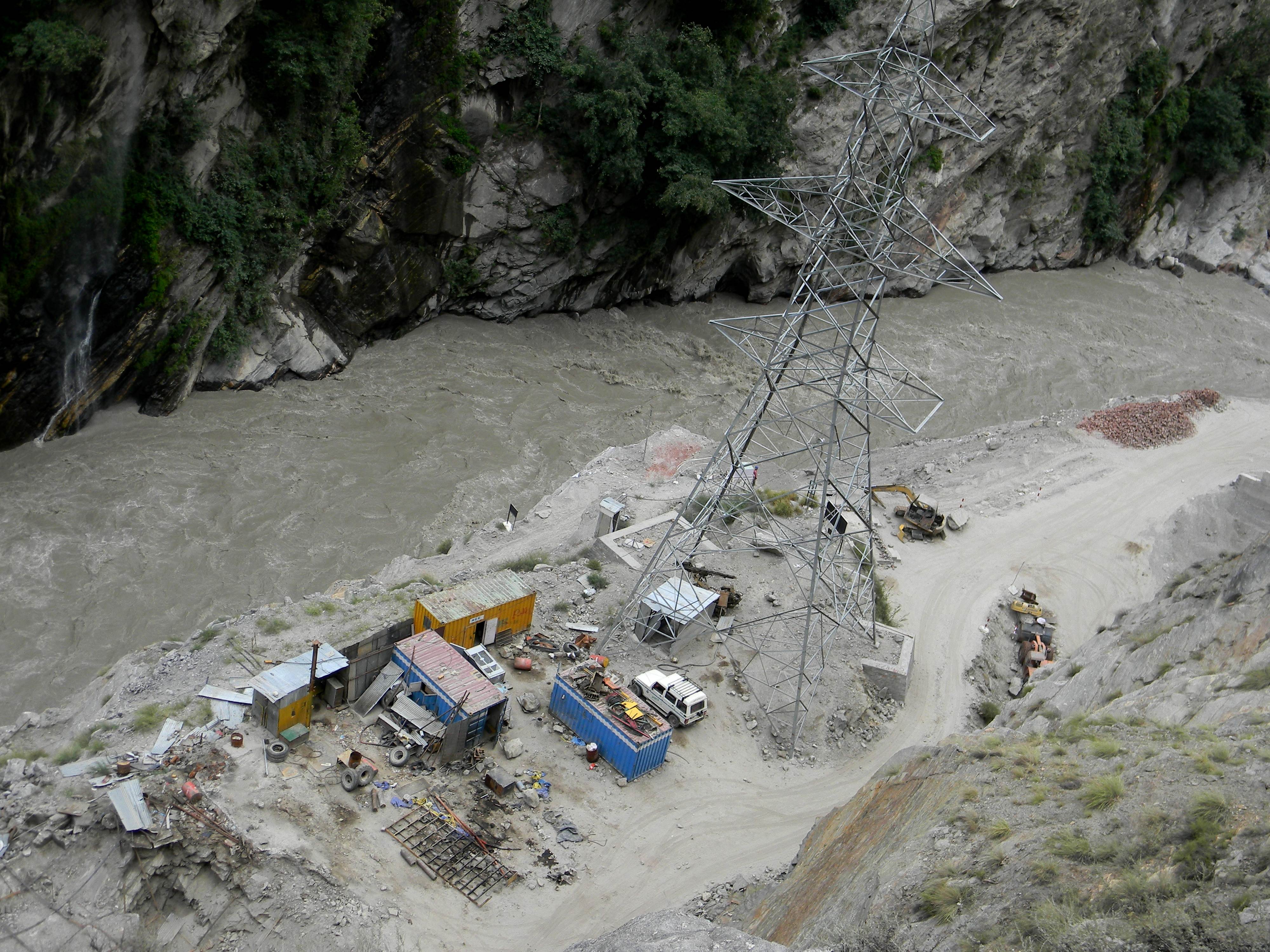
Integrated Kashang Hydroelectricity Project, HP, India| Photo: ejatlas.org

Unpredictable Lifelines

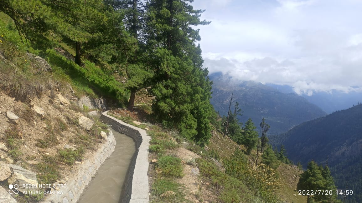
Verses of prayers reverberate throughout the valley as men sing and climb mountains to ensure their village has water in the summer. People from Khadra, Akpa and Rarang village trek for 27 km to reach Pangi top and clear the path of the artificial stream – Kashang nahar to let the water flow freely towards their villages. Generations ago many streams flowed towards the foothills but now only a few remain and Kashang Nahar is the only reliable source. Completed in 2005 this canal is helping the local villages meet their demand for water.

Kashang nahar | Photo: Yowan Negi, (Village Rarang)

Khadra, Akpa and Rarang, villages at 8000ft of Moorang tehsil, fall in the semi-arid region of Kinnaur district in Himachal Pradesh and rely mainly on glacial melt for their water needs. Though over the past few decades things are changing. As the climate is getting warmer, precipitation (rains and snowfall) is getting erratic. With each passing winter the glacier is unable to recover due to reducing snowfall trends. This is not only reducing the water availability during summers to the villages dependent on them but also leading to glacial instability. This phenomenon is already bringing grave consequences to the communities living in the mountains as was observed in Chamoli district of Uttarakhand. A glacier collapsed and released a ton of water and energy which destroyed everything that was in its path.

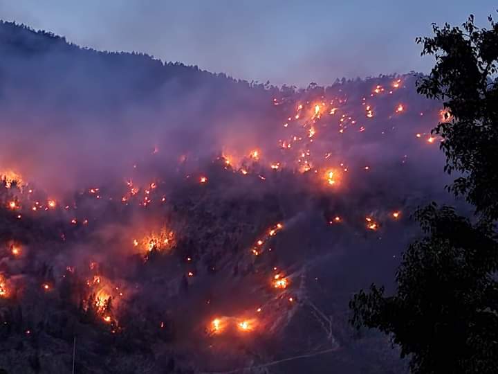
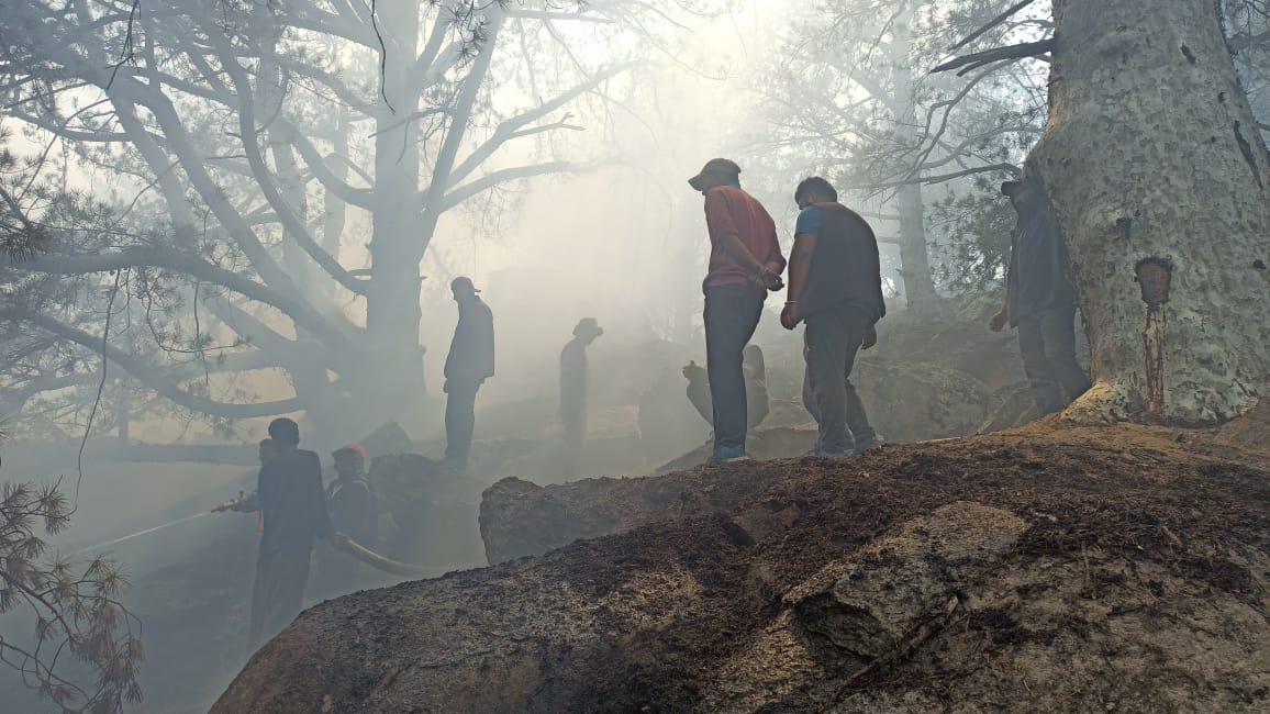
During monsoons, flash floods and landslides are increasing and becoming more frequent by each passing year, adding to the woes of the communities. A few years back, in my village of Khadra and the nearby villages of Akpa and Rarang, a major landslide washed away many agricultural fields leading to loss of acres of productive land. This year we faced a severe heat wave which led to fires in our forests. As Deodar and Chilgoza trees around us burned and fell and the wild species fled, we felt so helpless as the water in Kashang nahar fell short. Some of us collected the water at the base of the nahar and managed to save a few trees. But a lot of the damage had already been done. Each year we are caught up in a dichotomy of drought and heavy devastating rains and we don’t know what we should prepare for.

Forest fires in Akpa & Jangi forest | Photo: Heer Chander (Village Jangi)
Aftermath | Photo: Sunder Negi

Development based on destruction

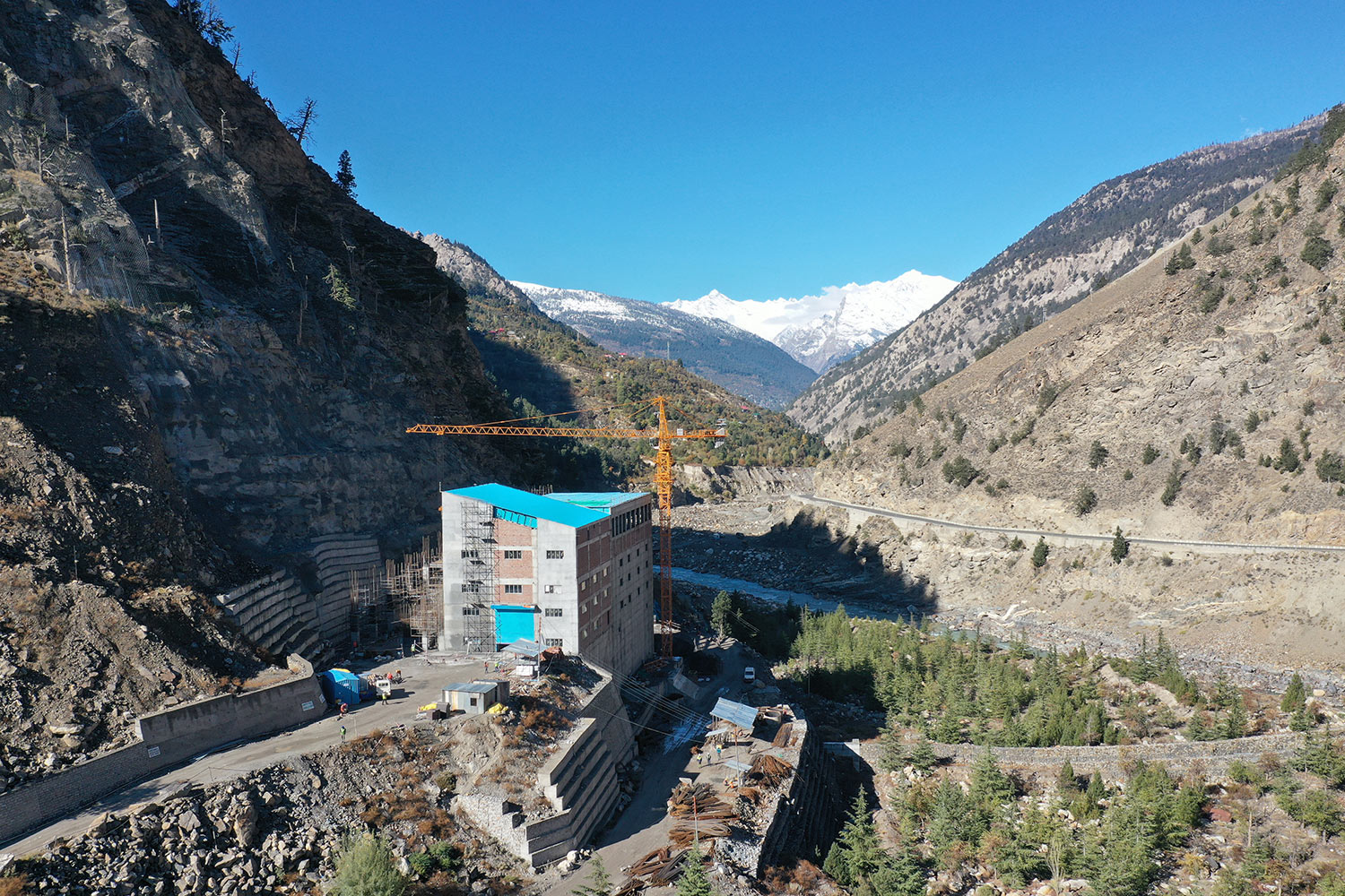
Himachal Pradesh, being a mountainous and river rich state, is known for its potential to generate hydro power. However that is coming at a cost to the communities. Villages and community forests are sanctioned under different projects to either be submerged or cleared off for the development. Around our village we have two hydro power plants – Tidong (150 MW) & Kashang Integrated (243MW) under construction and one mega project – Jangi Thopan of 804 MW is proposed. Kashang integrated project has plans to divert the Kashang nahar to meet its production needs. These projects are hindering the flow of our already distressed rivers and causing long term implications towards the health of the ecosystems and communities dependent on them. We have always opposed such mega developments and will continue to oppose them.

Photo: statkraft.in

Science and spirituality

To our communities, water means much more than a resource. Our ancestors have revered and protected the resource not just for themselves but for the generations to come. And today we continue to reap the benefits. Even today elders in the village guide us with ways to protect the water and thank the spiritual beings for their benevolence.  Every time we go to the source of a natural spring, we recite Naaga Chhonme, an ode to nature thanking her for the abundance of resources. It is deep rooted in our basic nature to feel connected to the forests, streams, rivers, mountains and we treat them as living being.

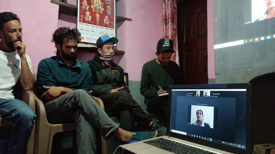
As much as spirituality is important to help us stay grounded and connected to our land and water we are also focusing on taking informed decisions to monitor and manage our resources based on scientific tools at our disposal. In early June this year, the youth of the 7 village clubs- Spillow, Kanam, Moorang, Jangi, Akpa, Rarang and Khadra, organised and attended a workshop conducted by Himdhara and People Science Institute on long-term monitoring of the health of the streams around our village. It was a 3-day workshop and we explored various themes around water including topics of development, climate change and its impact on our hydro and ecosystems. With the help of the Open Foris Collect, a mobile application, the youth have already started recording their readings of our streams.

River monitoring workshop | Photo: Sunder Negi

Climate change is a problem that we cannot solve at our village level. In the coming few years, the negative impact of climate change will only worsen and all we can do is prepare for the challenges we are to face. What we can do as a community is to raise awareness, write about the issues and continue to engage people in action towards climate change.

4000 3000 Sunder Negi
Who owns the Water?
Photo: Chhering Angchuk

Who owns the Water?

“Lungpa Bhu Med La Bhu, Ta Med La Teu, Chu Med La Chu”
Piti Da-Chang Monlam

“May the ones deprived of a son be blessed with one, the ones deprived of horse be blessed with a mare and the ones deprived of the water be blessed with this resource”
Spitian prayer verse during Da-Chang festival.

In Spiti we define wealth and prosperity in terms of water -“Chu Sang-na, Yul Sang” the expression aptly translates as  “abundant water results in prosperous villages”. Being a cold desert in high Himalaya, It is difficult to think of a resource more essential to the well being of people and their economies than water, yet managing water resources is a complex and challenging task and sometimes unfortunately results in many conflicts: between villages, households and within families. Sgrungs – Spitian oral stories are full of such narratives and show entangled relations between people and their water bodies. This one concerns two neighboring villages – a tale is known to many.

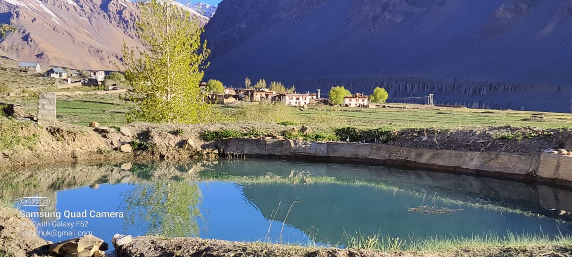
Every year, before agricultural season when the Spiti Valley gets engaged for the upcoming farming season; uncovering the tools, sharpening sickles, putting ashes to their fields and waiting for the glacial water-melt to fill their water canals, the villagers of Rangrik and Sumling, two neighbouring villages, have additional conundrum to resolve – that of the fate of “Shang-ma” – the precious mountain top water source. The dilemma of deciding who the water belongs to, which village gets to use water, channel it to irrigate their field and ultimately who are the custodians of this glacial melt water source. When disagreement arises, quite often a story is narrated that is believed to have happened a few decades ago.

Photo: Chhering Angchuk

Once a girl from Sumling village was married off to Rangrik village. Upon seeing the dry, parched fields of Rangrik, the girl’s family was distressed and decided to give her the most precious treasure they owned – the glacial water source. Back then wealth was measured in terms of one’s fields, cattle, agrarian assets and one’s access or ownership to land and water resources. With Sumling’s prime water source as a gift from her maiden family, the bride happily settled in Rangrik and many believe that Rangrik’s expansion, prosperity in present day and harvest abundance is attributed to the bride’s “Dak-ja” (parting gifts for brides). However, stories like these are often loaded with contentions and depending on who is telling the story and from what perspective, the details, the bold claims, the story arcs change dramatically.

Photo: Chhering Angchuk

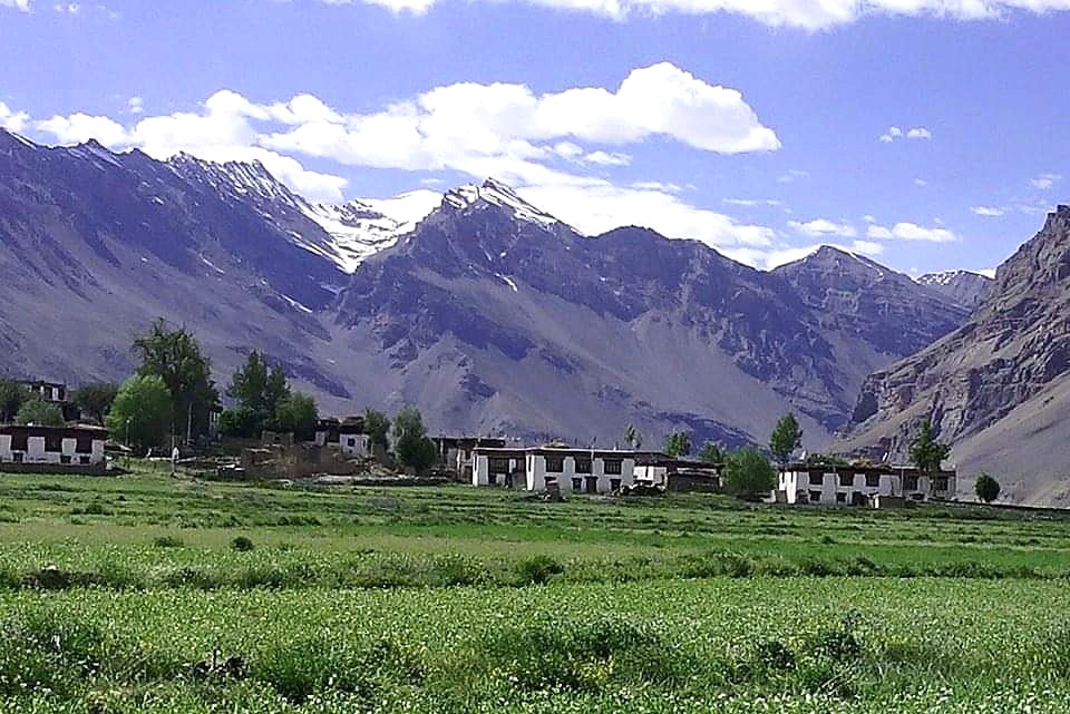
While the story attributes Sumling-pa as the custodian of the precious glacial melt water which is located at the mountain range above their village, however the coin flips its side when Rangrik villagers elucidate the situation. They trace their ownership to the waterbody in accordance with traditional land and water rights that have been bestowed to them. In terms of settlement in Spiti, Rangrik came into existence much earlier than its neighboring villages and the locals believe that the vast stretch of land, pastures, waterbodies from Rangrik till Sumling covering Khurik, another villager in-between, historically comes under the territory of Rangrik and thereby belongs to them. They further elaborate that they have been maintaining the waterbody since the olden days. If there’s steady flow of water in canals of Rangrik and Sumling village, it is because villagers of Rangrik have traditionally been preserving it. In the olden days, one member from each household of Rangrik accompanied by their horses and donkeys would make a day’s trip till Shang-ma – located at the mountain top of Sumling to directly channel glacial melt into their canals.

Photo: Chhering Angchuk

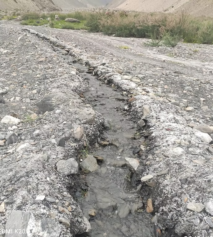
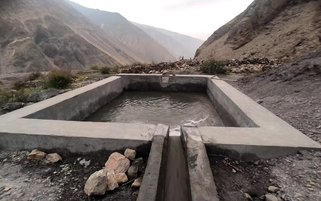
The crucial portion of the Kul (canal) head is at the glacier top, which is to be tapped. It is to be kept free of debris and so the Kul is lined with stone to prevent clogging and seepage. Water is, then, collected through the night and released into the exit channel in the morning. The Kul which stretches for over 7 km from Sumling runs through steep mountain slopes and crosses numerous crevices to reach Rangrik. The water flowing in the Kul is the only viable way to sustain vast agricultural lands in Rangrik and to feed their cattle. Villagers go on to describe that at night when the canal is dry, they even let their horses take shelter inside it to protect the livestock from cold. “In the olden days, our Kuls are that deep and water that abundant” muses munshi Chhering Angchuk – a teacher at government school in Rangrik who has been patiently corresponding with me over phone and explaining the details. Rangrik’s Gyetpo (village headman) is responsible for overseeing the maintenance of water, governing its distribution among farming households and mediating if there’s any conflict around for water distribution from Kuls can cause tensions when there’s shortage.

The glacial water source, although located at Sumling village, is primarily maintained by Rangrik village and therefore enjoys greater access to it. However, the rules around water are not straightforward and take on complicated turns as the meandering stream from the hills. In order to ensure there’s parity and less discrepancies, a consultation was made to village deities and the communities from two villages agreed upon several traditionally governed rules to be followed henceforth. While these rules are not hardbound or codified legally, it works purely on faith. Communal integrity and fidelity to verbal commitment is a virtue everyone strives to adhere to hence, going against one’s word or breaking a promise made in front of village deity and village elders is considered a grave offense.

Sumling village | Photo: Chhering Angchuk

The rules governing usage of water and access to it is as follows:

  • while villagers of Rangrik can tap the glacial water from its source, they cannot completely divert it to their side or block the Kul’s head with mud, reinforce it with cement, grass or cloth to prevent downstream Sumling village from using it.
  • The water seeped out from the crevices, naturally caused chasm and narrow openings can be used by villagers of Sumling. The oozed-out water “Dsag-ti” is then subsequently diverted to the fields of Sumling and are fed to their cattle.

Water being a precious resource, there are meticulous rules even for using “dripped out” water (Dsag-chu) which would be otherwise viewed as an “extra flow” or “excess water” and left unregulated.

Is the contention then completely resolved?

Disagreements, tensions between two communities occur even now and in fact women from both these villages are stereotyped as ‘quarrelsome’ for they are primarily responsible for irrigating the fields and unfortunately sometimes end up in heated arguments. Knowing fully the onus of such conflict and subsequently a scandal that follows majorly lies on them, upon asking, many of them ruefully answers “chui thupa zinna mekak” – “our water conflict can never be fully resolved”. The story of bride being gifted water or the claims made by respective communities remains an enigma that transcends monolithic binaries of right or wrong but the story lives on and so do the many contentions around water that continues to discord people’s lives. Across the globe, access to water has always been a source of tension and it continues to be a conflict among stakeholders.

Despite the contention, many native Spitian lores, verses and religious incantations dwell on the divine, metamorphic concept of water. Referring to it as “life giving” “life line” – evoking mutual interdependence of people and water. It is culturally revered, venerated, celebrated and the guiding philosophy underlying diverse forms of water usage is respect for water considering it as an inherent, living part of nature. As such there are plenty of religious verses, hymns, odes dedicated to rivers, streams, ponds, spring waters, mountain top glaciers and rivulets to prevent it from drying and seeking its abundance in nature. In Spiti, during one of harvest festival Da-chang, villagers recite sacred verses (aforementioned) where they collectively pray protective deities to bestow “water, son and a horse” – three essential resources to sustain agrarian life in mountain desert.

1156 521 Chhering Angchuk
A Quiet Desperation
Photo: Chunnit Chhering

A Quiet Desperation

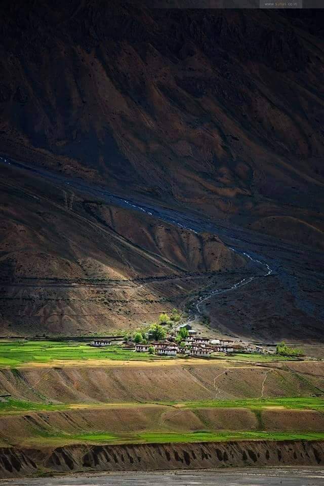
Nestled at the foothills of gigantic mountains, my village Gue is located south – east of Spiti near the Indo-China border. Away from the hustle-bustle of urban plains, we have always lived a quiet life. Our lives revolve around what we primarily derive from nature. Our days are spent tending to our barley farm and grazing livestock in the high pastures of my village. Growing up, I never fathomed this could change or imagined any alternative. Whether it is our elders, women, younger children, almost everyone is tied to some form of agrarian work and everyone did their bit.
​
In the recent few years, we are gradually experiencing an insidious shift – the weakening of the agricultural foundation upon which everything else is built. Water which forms a crucial base for our sustenance is slowly becoming unreliable. Uneven rainfall, drying up of water sources and flash floods are new normal to my village. As far as climate change is concerned, it cannot be more real. Spiti is a high altitude cold desert. We experience cold weather throughout the year with a short period for agriculture. But it feels like a lot has changed since my childhood. The weather feels much warmer and our glaciers appear thinner. Gue is Spiti’s highland settlement and therefore we depend on glaciers and spring water for both domestic use and irrigation. In our village we have a total of 4 sources of water channeled to different households and each of them is facing a threat.

Kirki Phak: A northern side mountain range which possesses a huge reserve of scattered spring waters. All the spring water flowing in this mountain combines at the mountain foot and becomes a rivulet. This used to be the prime source of water for villagers whose fields are located in Gang (north side) but now this blessing has turned into a river of sorrow. During unseasonal rainfall, this river swells up and gives birth to flash floods. A dreadful flash flood in 2010 wrecked havoc and many farmers lost their fertile land. The debris, huge boulders, unwanted sand has made the land unfit for agriculture or anything else. What once was a vast stretch of green has turned into a flat track of barrenness. A lot changed after that, floods, soil erosion became quite normal and now it is even difficult for us to maintain a water canal as when it rains, everything gets washed away.

Photo: Chunnit Chhering

Ringi Buk: This glacial water is located behind ITBP camp (Indo Tibet Border Police). It serves as a source of water for agricultural fields located at Tho (central zone) as well as Chumik Pharma (fields located at the other side of a spring water). Untill last year, this was the most constant and reliable source of water but this year, we struggled even to irrigate our fields. There’s hardly any water flowing in our Kuls! Villagers are now forced to find measures – the only viable way to draw water is to link this source with the Kirki Phak and irrigate our fields.
​
Chhumik: This spring water is a source of water to Matka – fields located at the lower side of the village. The supply of water hardly gets disturbed but it requires extremely sensitive management to cater the needs of all farmers. This is the only source of water during winter as the other sources freezes up but this too is getting disturbed due to change in climate.
​
Phuk: This glacial source is at the Tibet border side. This is an unchanneled source but most voluminous in nature.

Photo: Chunnit Chhering

I do not know much but our lived experiences and relations with nature are changing. We revere nature for its life-giving qualities; our lands, our water, our pastures, our glaciers and other components of our surroundings are precious and there’s a deep sense to protect it, preserve it and coexist amid harsh conditions. The Buddhist values of living harmoniously in our environment with all lifeforms is what makes us unique but that deep veneration, that love is slowly getting replaced with fear. Many people are fearful of fiery elements of nature. Rainfall is very less in our region. But it has become quite frequent and untimely in the recent few years causing a lot of damage to our farm and our crops. Timely snowfall is good for us but hailstorm and torrential rainfall is causing huge devastation. It has disturbed the whole ecosystem and we always live in fear of floods and falling rocks.

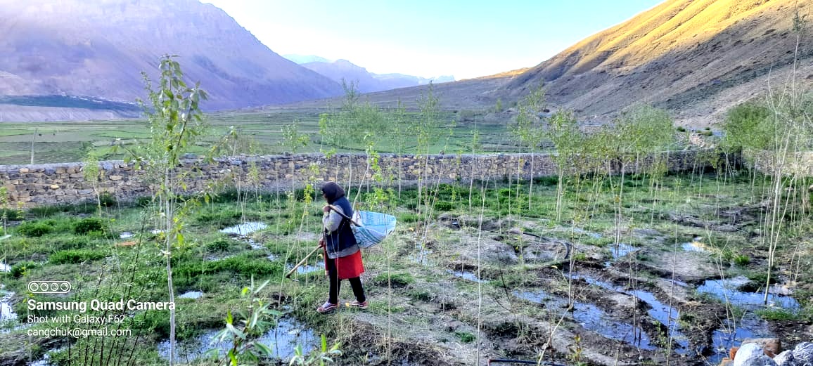
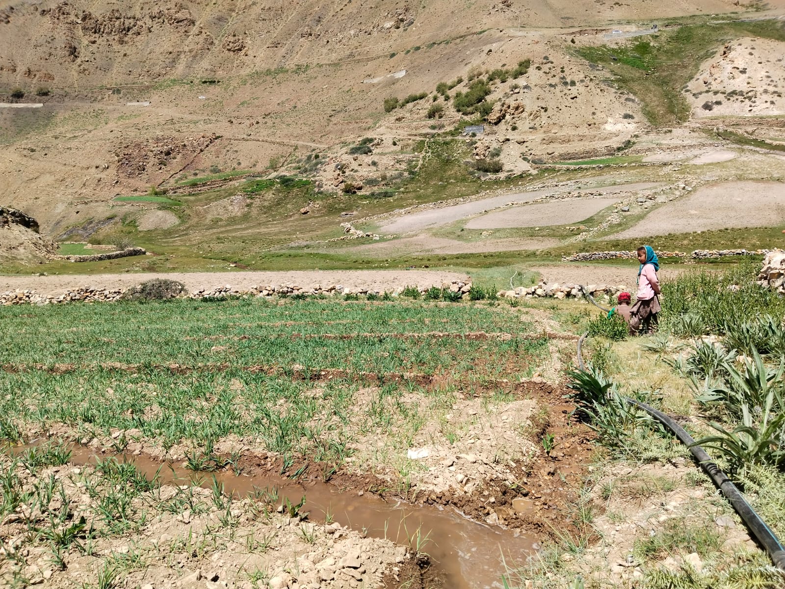
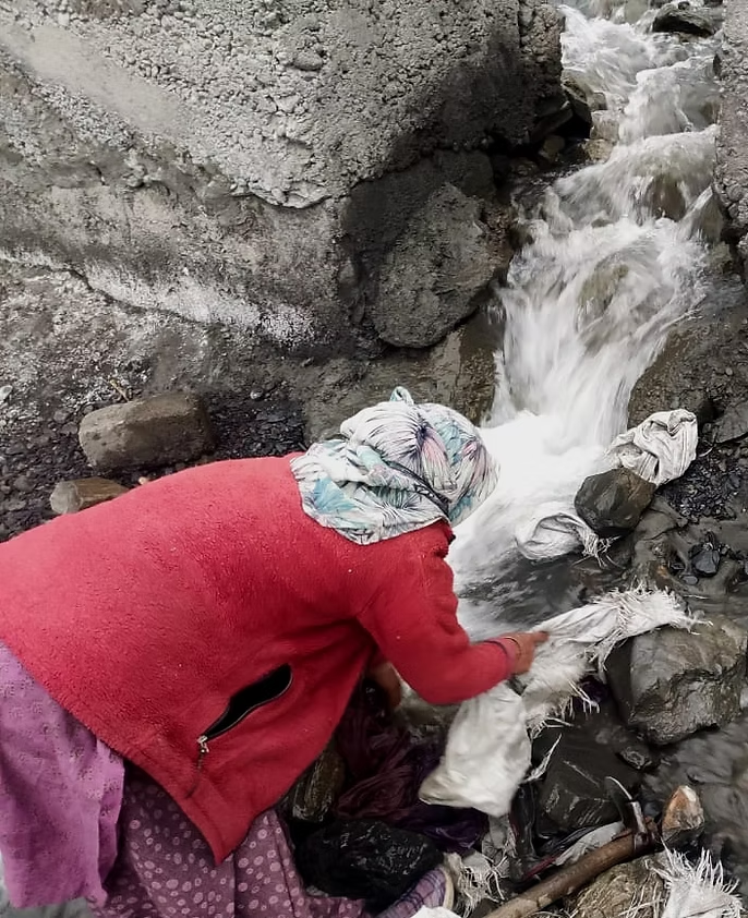
Throughout the mountain region, springs are reported to be drying and mountain agriculture is suffering from drought. The shortage of water has placed an increasing burden on mountain communities particularly villages like us where springs provide access to 90 percent of freshwater. In the whole climate change scenario, agro-pastoralists like us are the most vulnerable. Our village experiences both drought-like situations as well as the brunt of flash floods. Geographically, Gue is slowly turning into a barren land. Our village already lost half of our agricultural land and that cannot be revived. Many people lost huge bighas of land in the process, including mine. Since the flood, there has been a lot of erosion and we also face difficulty maintaining our water canals which is key to the water distribution system. The woman in the picture is my mother with whom I go upto Kirki Phak to bring down water to our fields during our Chu-rey (watering turn). It is not easy as we have to wake up at 4 am in the morning and the canal frequently loses its shape due to excessive siltation which creates hard labor for us. Maintaining water canals is a huge issue and women bear the brunt. With the help of the local Panchayat, there has been some solution to reinforce the canals but if it floods, we are back at ground zero – where we started.

Photo: Chunnit Chhering

Elders in my village believe that if there’s any magic in the world, it is contained in water. Peace, healthy social relations and communal harmony has its strong roots in water availability. The flood has a direct impact on our livelihood. The backbreaking work of agriculture is becoming more precarious and people are gradually shifting from it. Some leaving their fields uncultivated, some finding resort in tourism and odd labor works. It has also marred social prospects for many youngsters as people are reluctant to marry their daughters in our village. I feel all these are climate induced changes – uneven rainfall, retreating glaciers, drying up of water sources, water scarcity, flash floods and its devastating impact on mountain people. Tourism has escalated the situation and placed additional burden. At one point, the number of vehicles entering my village exceeded 400 on a daily basis!

Gue is a popular travel destination and is often listed among off-beat travel itineraries. Our village monastery preserving the mummified body of a great Buddhist yogi draws special attention. Travellers across the world visit the village to witness it but their relation to the place doesn’t go beyond consumerist approach. With more people getting to know about it, there’s huge love pouring to the beautiful picturesque mountains but no one is bothered how locals are eking out. No one is bothered how we are quietly bearing the enormous burden. Away from the limelight – an unspoken desperation. I feel only through collective action we can mitigate some of the climate induced devastations and I hope everyone takes care.

981 857 Chunnit Chhering
The Many Tales Around Water
Photo: Kalzang Dolma

The Many Tales Around Water

Insights from Ane Butith Zangmo, Kalzang Dolma  with complimentary reading from Tobtan’s book “Spiti: A socio-cultural traditions”

Spiti’s oral literature has extensive reference to water. Many ancient verses, odes, hymns, folk songs, old lore allude to water with sheer reverence, refer it as a treasure and embody ancestral affiliation within physical, ecological, social-cultural and spiritual contexts. Each narrative is deeply embedded in local space – intimately bound up with natal soil, water bodies and their complex manifestation in local geography. Each village has a complex set of rules, systems governing their natural resources and finds its reflection in local peras (proverbs), wise sayings and old chants. These oral tales deviate in their form, structure and might not offer linearity of usual stories but are nevertheless recounted for generations for wisdom. Many of these tales are deemed to be true, many filled with mythical, fantastical elements showing deeper values of interconnection and indigenous stewardship.

Many scholars studying Spitian literary tradition find an association of water with the name Spiti (Spyi Ti/Pi ti) itself. Sir Alexander Cunningham has explained that many terms in Western Himalaya, especially the names of rivers are added with the suffix “ti” with this significance. The word “ti” is also found in some dialects of Kinnaur and Lahual which means “water”. In Spiti, the word “ti” is interchangeably used for “chhu” which means water colloquially. This is aptly reflected in the traditional irrigation system and as recounted by many female farmers in Spiti. Owing to scanty rainfall, Spitians primarily relied on glaciers for irrigation and there are careful rules around water distribution within farming households. There are different watering stages during agricultural season, each binding their own values to the farm life: Yurma, Srak-ti, Gsum-ti, Dsag-ti, Minchu. The first watering occurs after the first month of seeding which is called Yurma – the most important watering work as during this time saplings are young and it needs careful tending. The second watering implies a more urgent need for water as the days are hot and fields parched. During second watering Srak-ti, the saplings are sun-burnt (Srak pa – burnt in spitian) and therefore in greater need of water. Gsum-ti refers to the third cycle of watering and Men-chu means watering cycle to ripen the seeds. This way, Spitian literary and cultural tradition signifies usage of “ti” (water) in layered manner and embodies rich tradition around it.

Another tale related to water that’s recounted relates to Dhankar village. It is a high elevation village in Spiti and used to be capital of Spiti before it was shifted to Kaza. The village landscape comprises flat tracts of land on high mountains, steep cliffs and sloped hills. These high settlements are located more than half a kilometer above the river bed and therefore access to river water is very difficult, the villagers mostly relied on glacier water for all their primary needs and once a local shepherd beautifully expressed his experiences of local topography in a form of Pera (local saying).

Many villagers recite it orally during farming work to find solace and humor in hardwork.

“Nyi-ma shar-she snga la skyod-che phyi-ya. Lug-zi sdug-po’i gnas yin…
Brang-mkhar chhang-sa ma-ba la do-ya ma-ba. Ra ro-ba sdug-po’i gnas yin…
Brang-mkhar gyen-yur ma-ba la chhun sna ma-ba. Chhun-pa sdug-po’i gnas yin….”

It can be roughly translated as:
The sun rises here at Dhankhar early, but sets late, which makes the day longer and is cause of concern for the shepherds who have to graze the cattle and sheep at high pastures for a longer time.

In Dhankhar, there are plenty of chhang (local alcohol) but also the place is too hilly and there is too much up and down, which is the cause of great worry for drunkards.

In Dhankhar, the irrigation channels are located at the places too high and the sources too far, which is a great difficulty for the women who have to draw water for irrigation from the upper Kuls and much time is wasted in walking up and down between two distant places.

Similarly, there is a saying in Spitian tradition about a group of three villages Lari, Tabo and Poh

“Gong mtso rdol song na, chog-la yul gsum lhag”

which means “if the lake above bursts, the three villages of chog-la will be destroyed”. The lake here refers to Mane lake near Tabo.

Photo: Kalzang Dolma

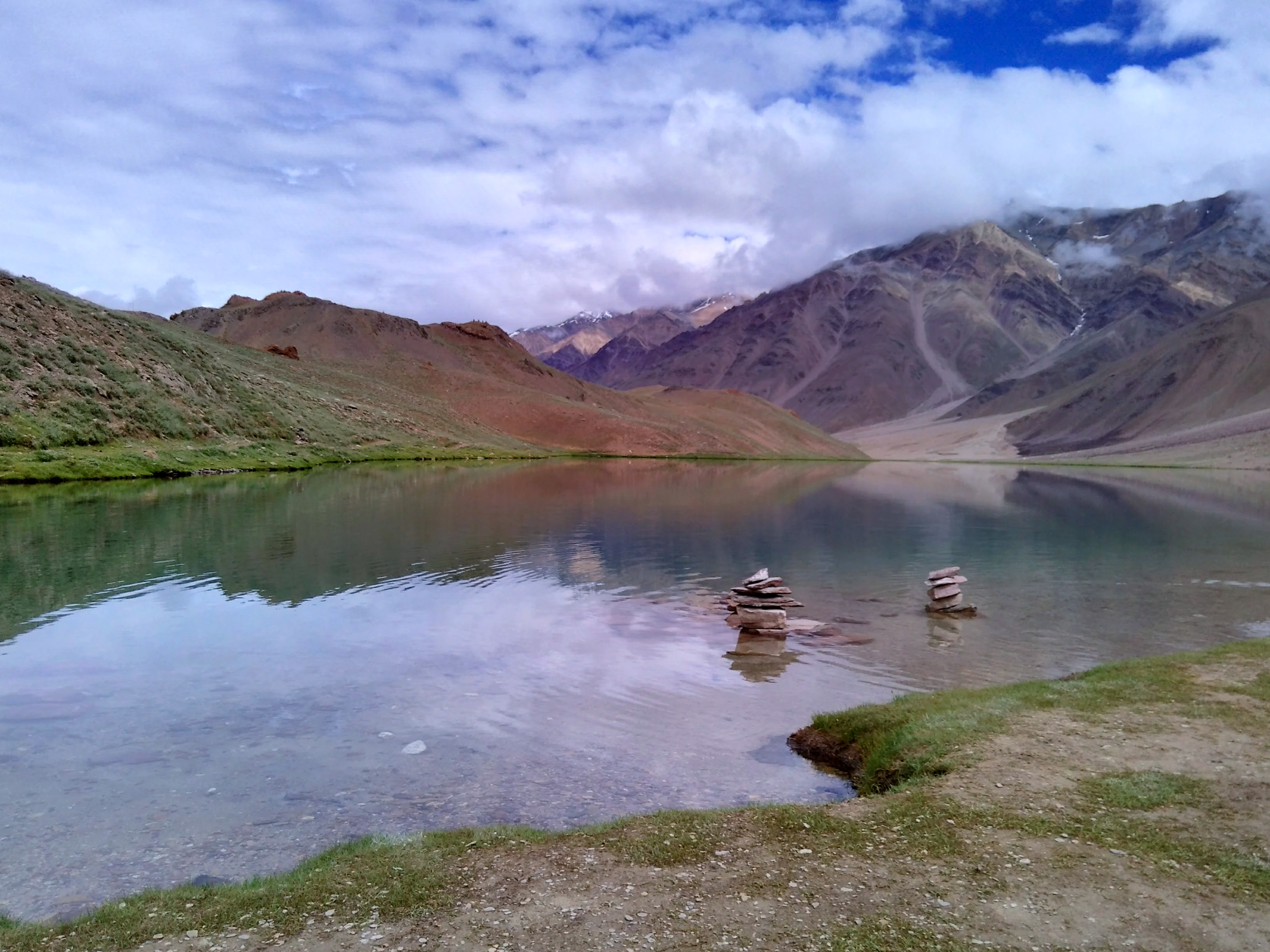
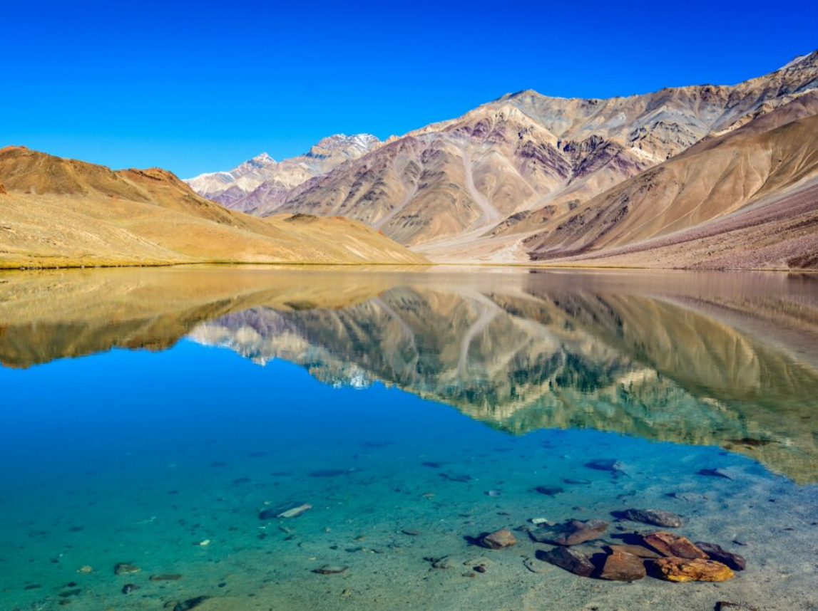
There is then another interesting folk story related to Chandertal lake in Spiti. It is told that there was once a shepherd from Rangrik village who used to take the flock of his sheep for grazing in the meadows near the lake of Chandertal. The shepherd was skillful in playing flute and he enjoyed playing many melodious songs on the shore of the clear Moon-lake. In the lake there lived a Khandoma, a water goddess. The Khandoma could not resist the attraction of the enchanting melody of the flute echoing over the calm surface of the ethereal lake. She became a regular visitor to the lake to listen to the music.

One day as the shepherd was playing the flute the Khandoma appeared before him and spoke to him about her love for his melodies. They met regularly and soon they had a handsome boy out of the union. The Khandoma had asked him to keep their relationship a secret as the union between earthly beings and water dwellers like her from different realms are prohibited. The shepherd vowed to keep this a life long secret. But the shepherd was already married and had a wife back in his village Rangrik. One day he had an argument with his wife and in fit of rage he blurted out that he has a spouse – a Khandoma living in Chandertal and before her she was insignificant.  The wife challenged him to bring her home. The shepherd accepting the challenge went to the lake and started playing the flute as usual. The Khandoma appeared with the child who then was infected with a severe skin disease and was disfigured. She handed over the child to the shepherd and disappeared in the lake never to be seen again. The shepherd searched for her everywhere and tried calling her back through a series of melodies – he even tied a long rope on a wooden log and threw it in the lake to gauge the depth of water so that he could go look for her underneath. His rope fell short but it couldn’t measure the depth of the lake.  And thus, the heavenly relationship of love came to an end.

It is said that the descendants of the deceased child still live in Rangrik and his relics are preserved in their Cho-Khang (prayer room) and revered. Villagers still believe that she resides in her abode in the water body and routinely offers prayers, does rituals, purifies it, cleans it and maintains it as a holy site.

It is a curious tale open to different kinds of interpretations but according to local mythology, this folklore urges for the need to protect, conserve and value water. The story also portrays the community’s reverence to local deities which are associated with multiple features of local geography like land (Sa- dak: protective land deity) and water (Klu: serpent deity in water). The Spitian belief system reveals complex relations between people, environment and various spirits. Land and many other natural entities are imbued with the notion of personhood and agency. It inquires deeper meaning of landscape and environment and projects how religious ethics and ecology are related.

3000 2250 Kalzang Dolma